|
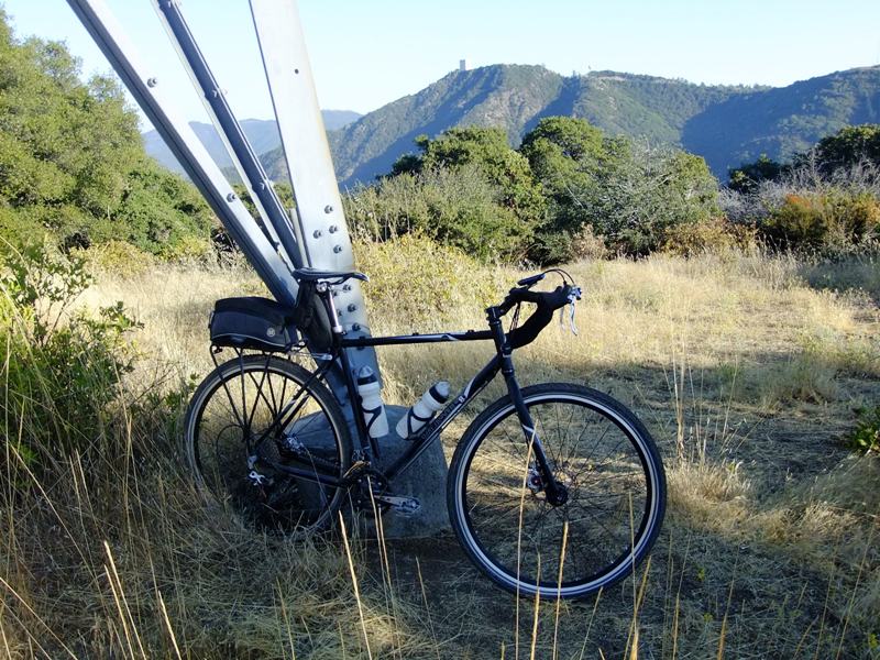
View from top of Mt. El Sombroso (2999') looking south to the top of Mt. Umunhum and the "cube". Had to walk up 3 loose, steep sections on the last 2 miles to the summit. From here, I descended to Lexington Res. via Limekiln and Los Gatos Creek trails. I think I finally have the saddle position sorted out after 700 miles of riding. Ended up moving it fully forward and tilting the nose up about 1* from level. 52 miles and 4300 ft. of climbing with 14 miles of dirt: http://connect.garmin.com/dashboard?cid=13708139 (14/16)